
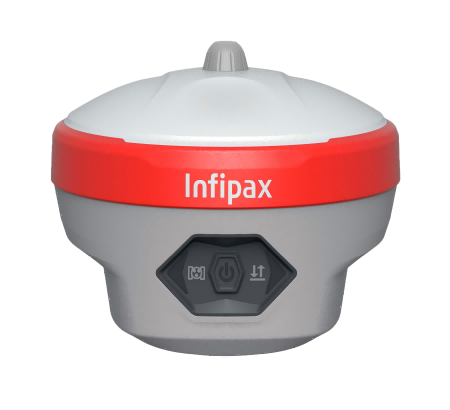
.png)
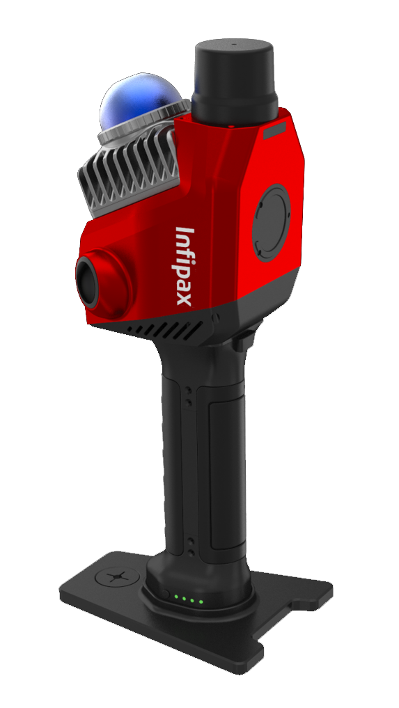
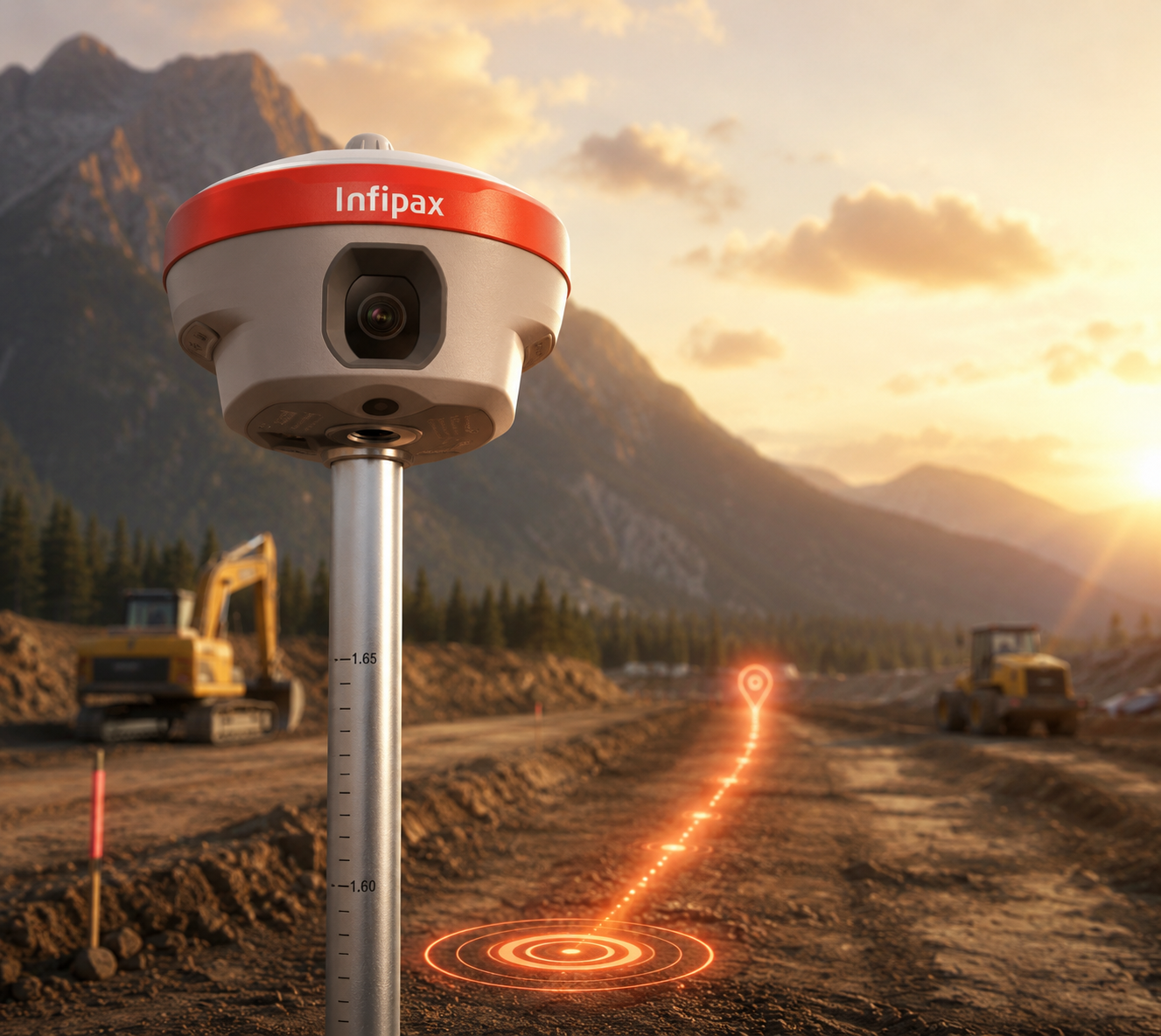
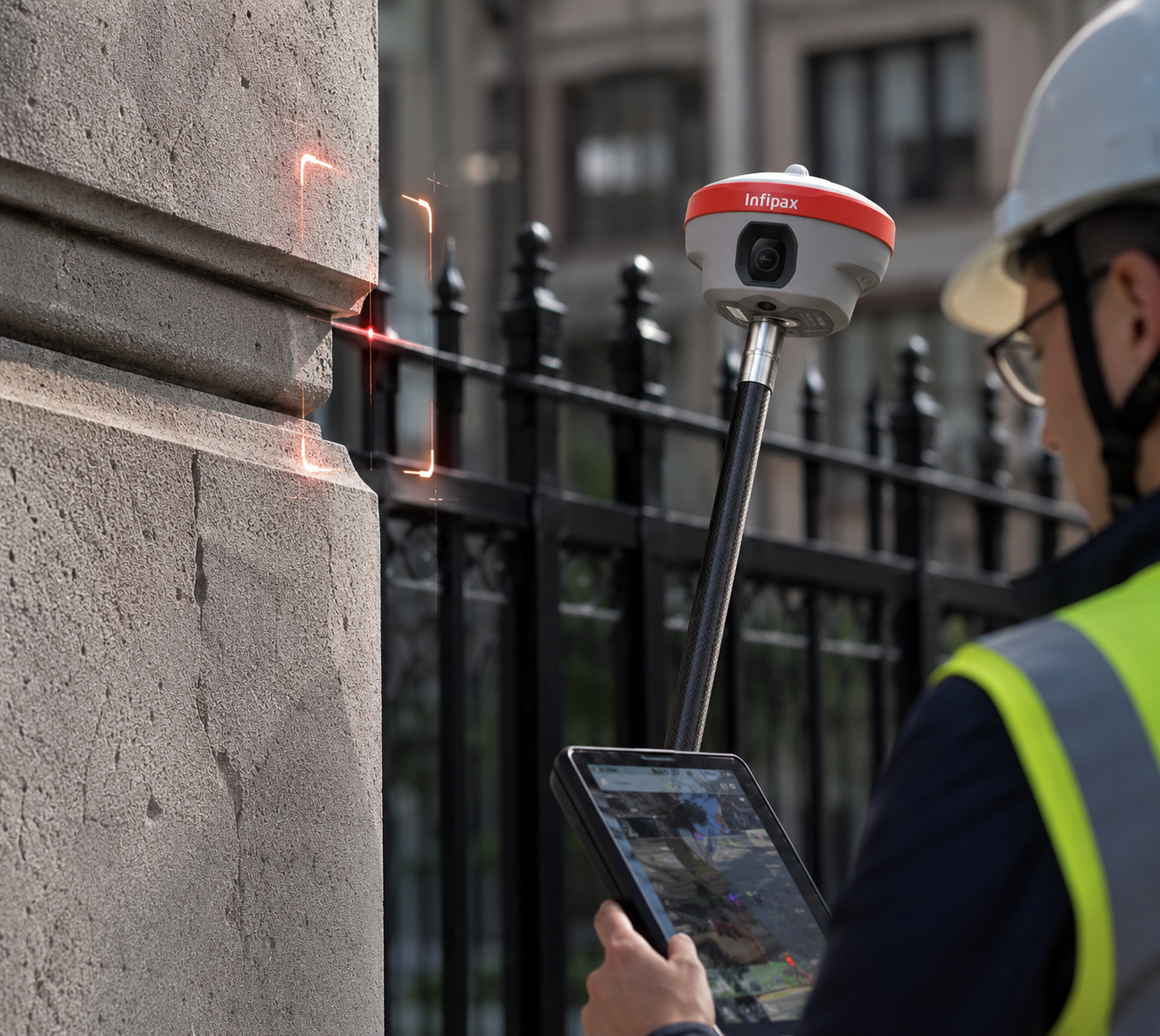
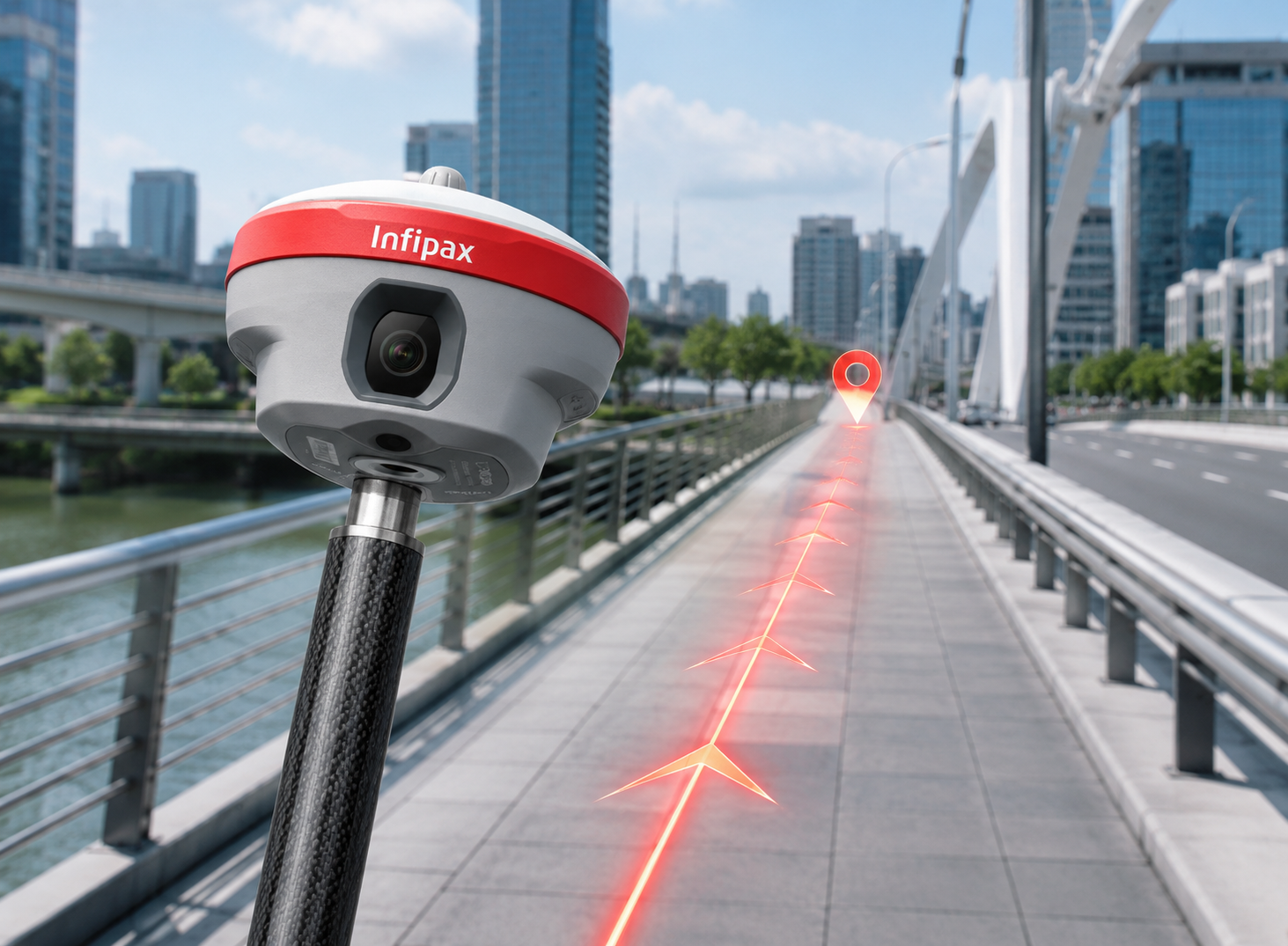
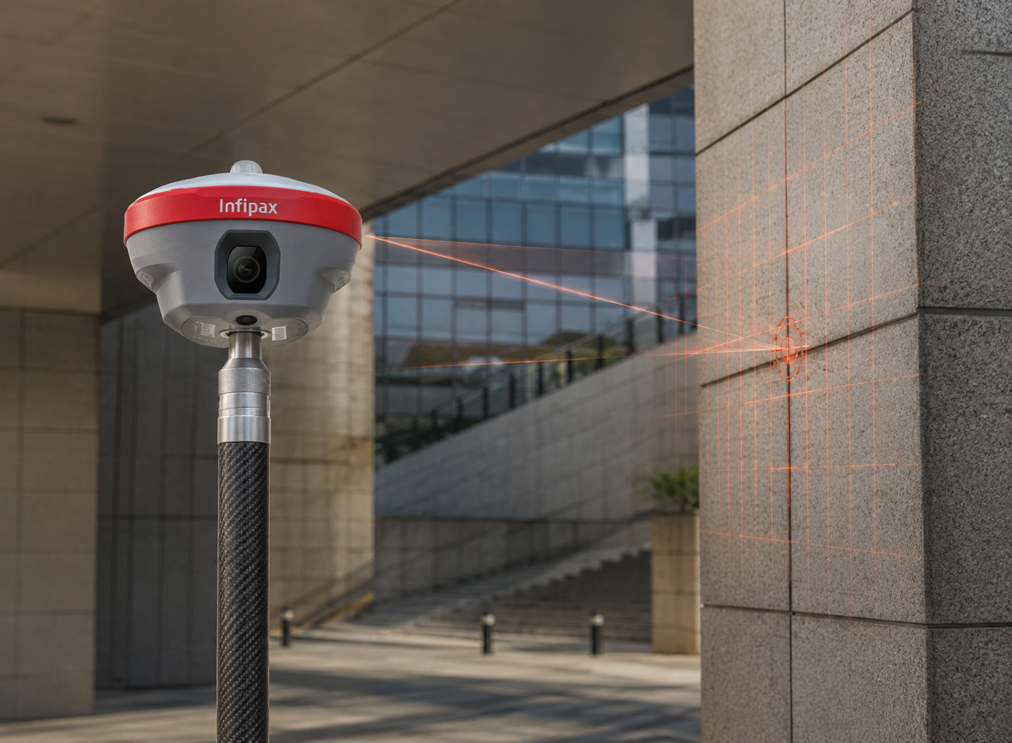
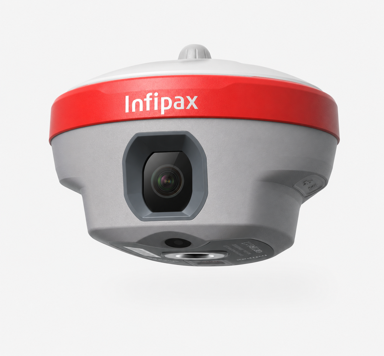
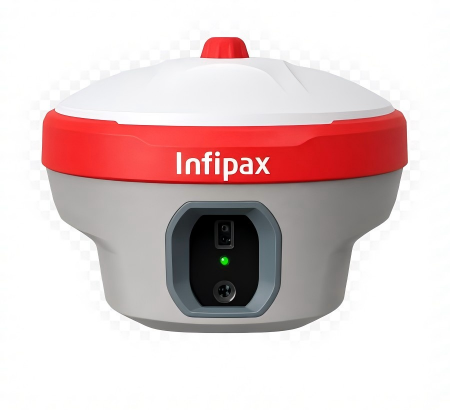
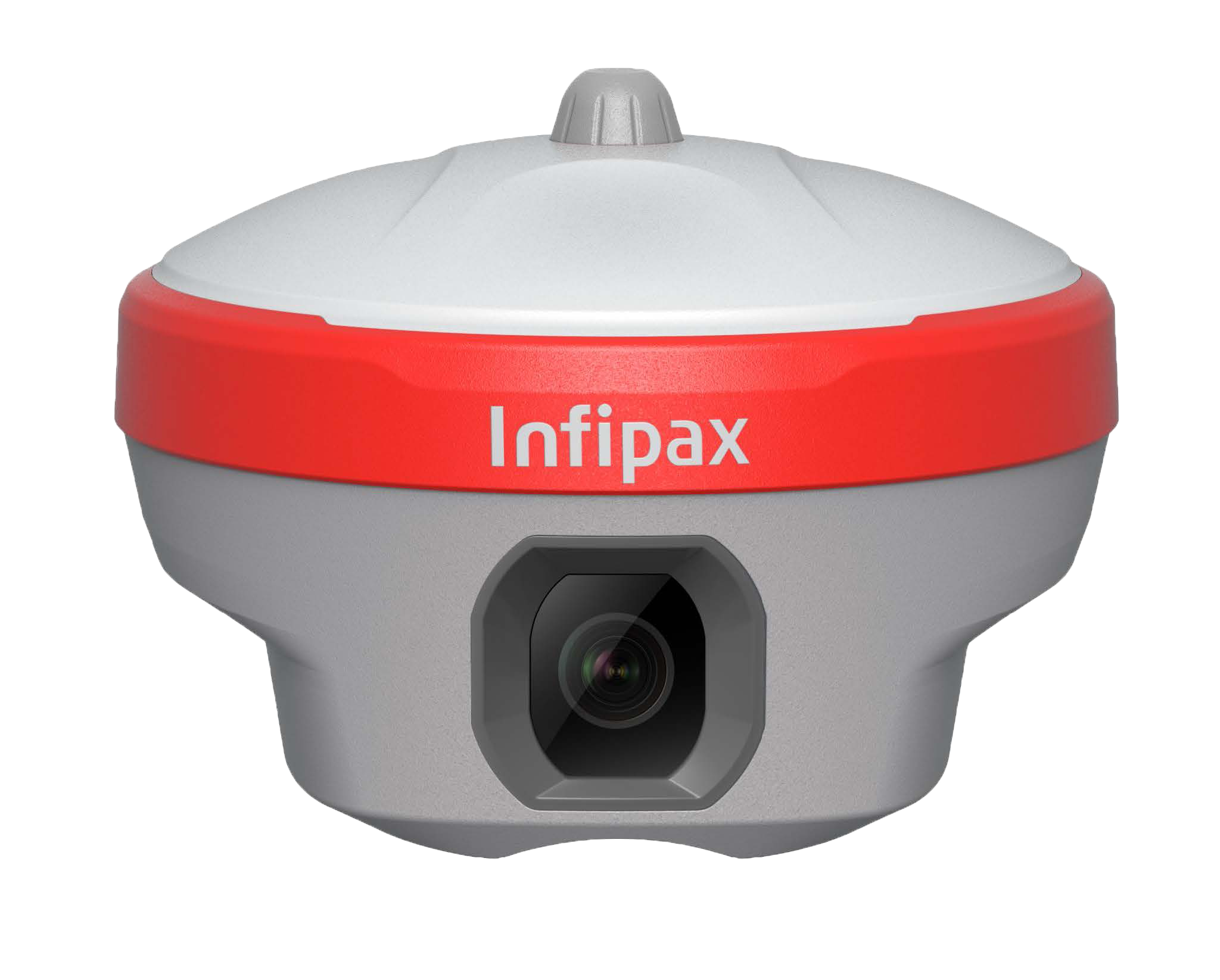
Dual-Camera AR Stakeout
L30 Pro brings a dual-camera workflow to stakeout. The side camera helps guide users when they are far from the target, while the bottom camera assists at close range, making point location easier to understand directly in the real-world scene.
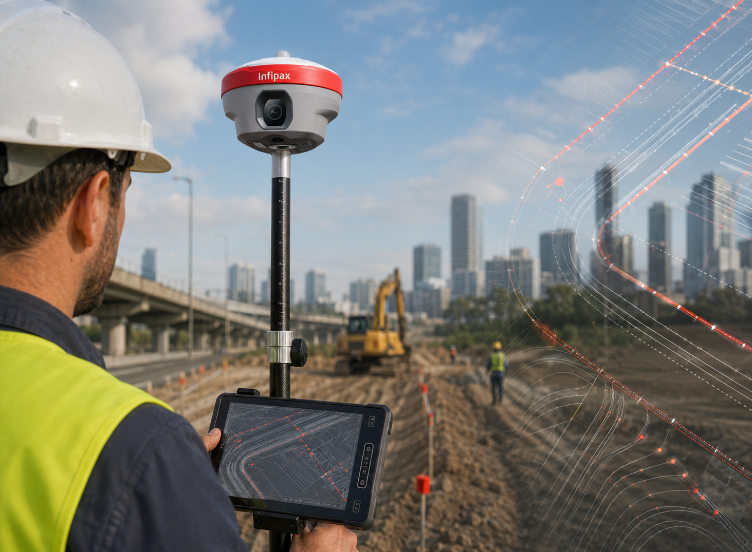
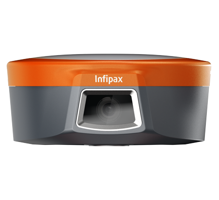
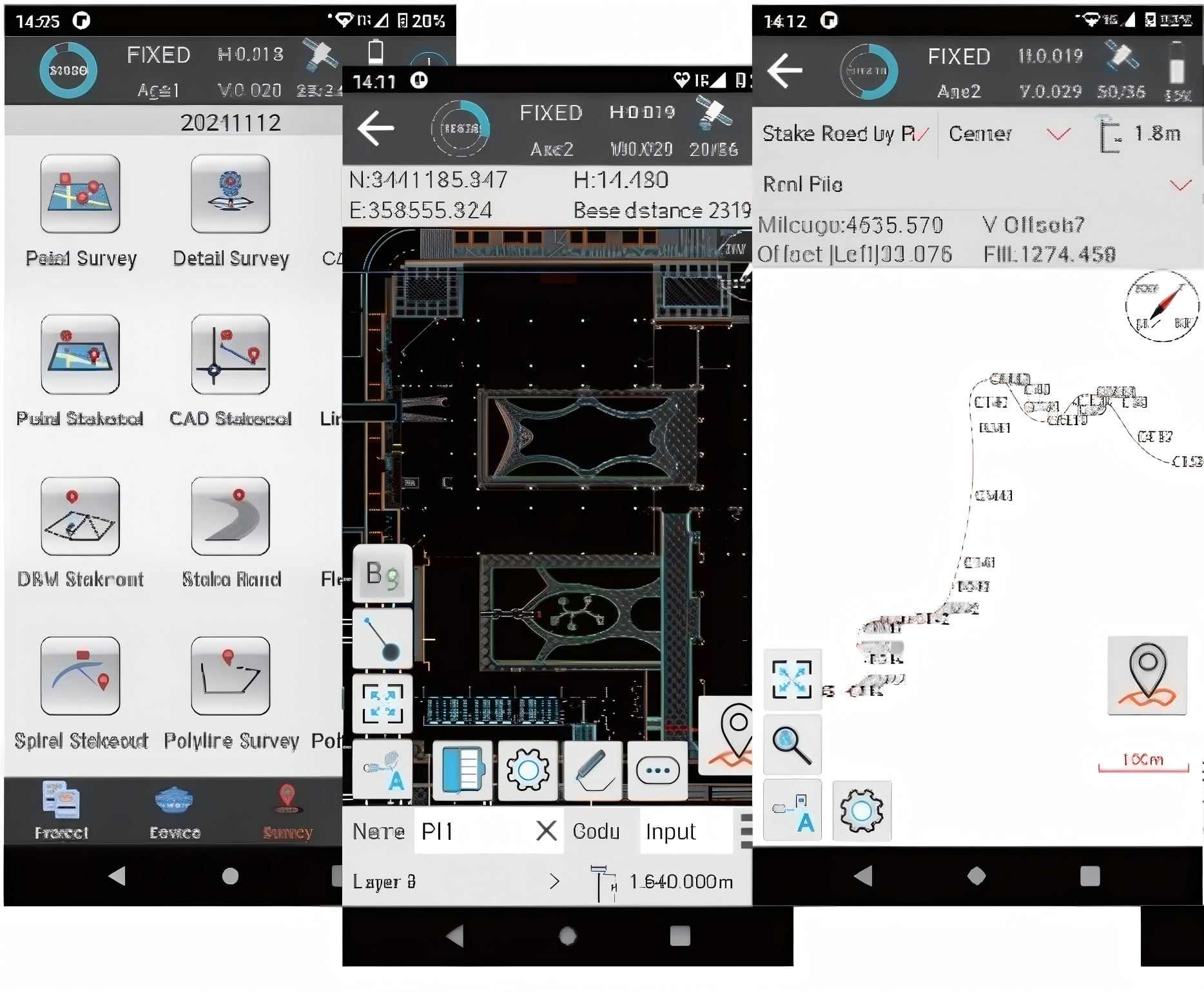
Visual Surveying Workflow
Visual survey support helps field crews capture measurement points with image assistance instead of relying only on traditional pole positioning. It is especially useful for points near obstacles, dense ground features or locations where visual confirmation improves confidence.
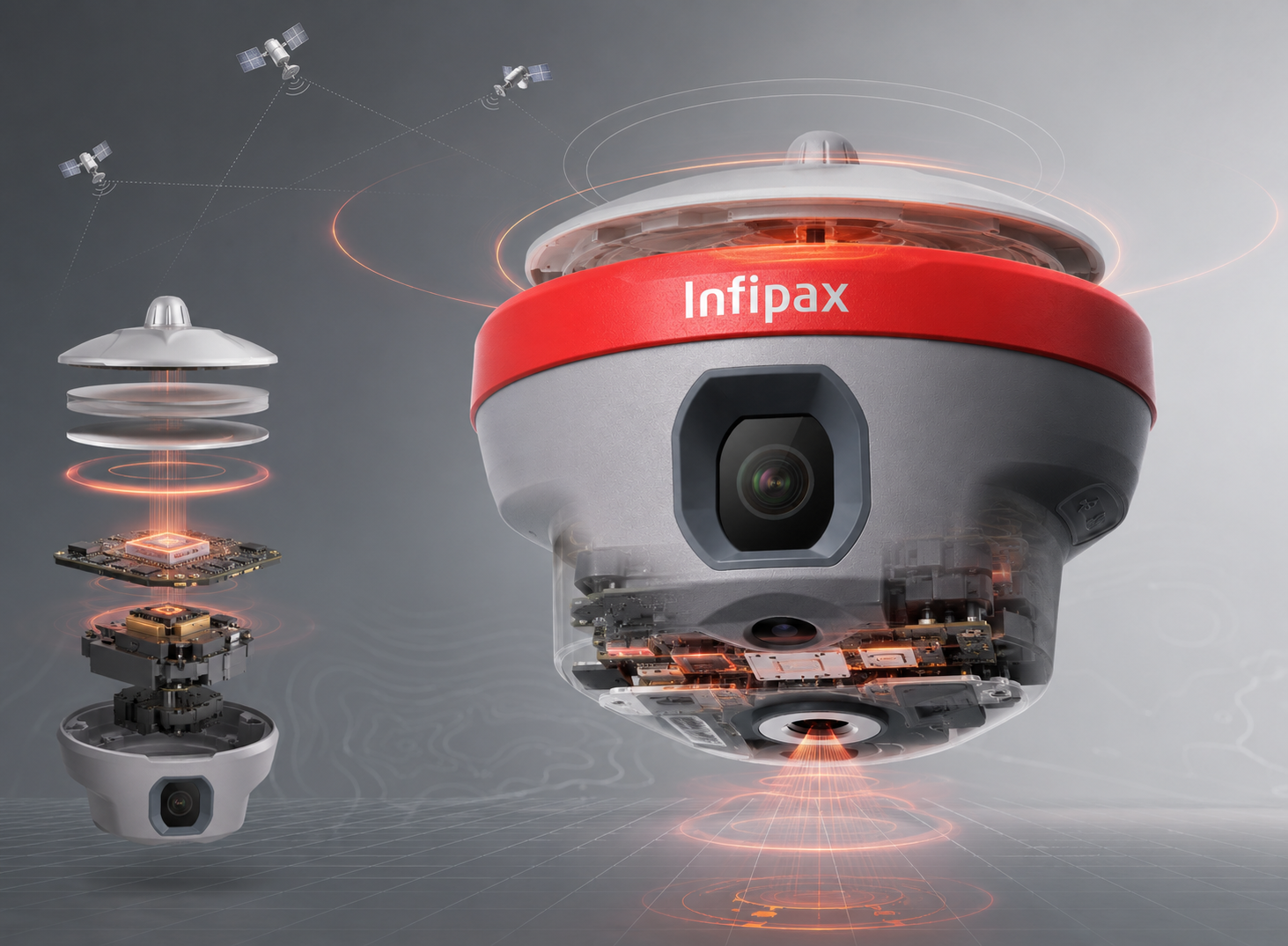
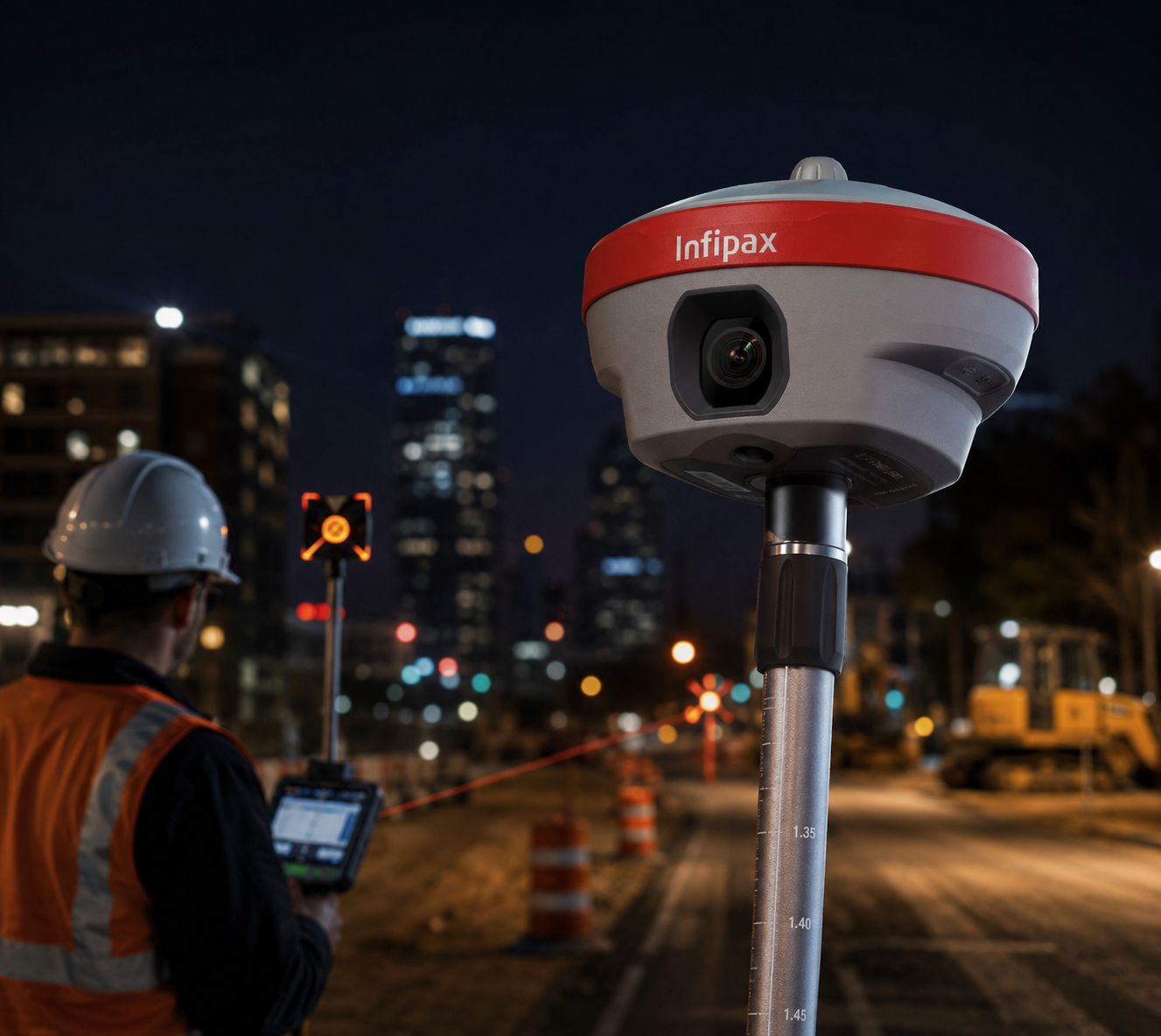
Night Vision Camera Support
The 5MP camera system supports night vision, giving operators clearer visual guidance in low-light environments. Combined with AR guidance, it reduces searching time and makes stakeout instructions more intuitive for experienced and new surveyors.
AR Stakeout
Visual Survey
Night Vision