

Caevox 100
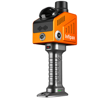
vox 100 is a handheld 3D LiDAR scanner designed for fast, high-density SLAM mapping in indoor and outdoor environments.
Cevox 100 is a handheld 3D LiDAR scanner designed for fast, high-density SLAM mapping in indoor and outdoor environments. It integrates a 128-channel LiDAR, multi-frequency GNSS, high-performance IMU, and multiple cameras in one compact system. With up to 1.15 million points per second, a 360° × 95° field of view, centimeter-level relative accuracy, and high-resolution image capture, Caevox 100 delivers detailed, reliable, and georeferenced 3D data for surveying, construction, digital twins, BIM, and complex spatial mapping applications. Caevox 100
FIELDBEE POWERSTEER
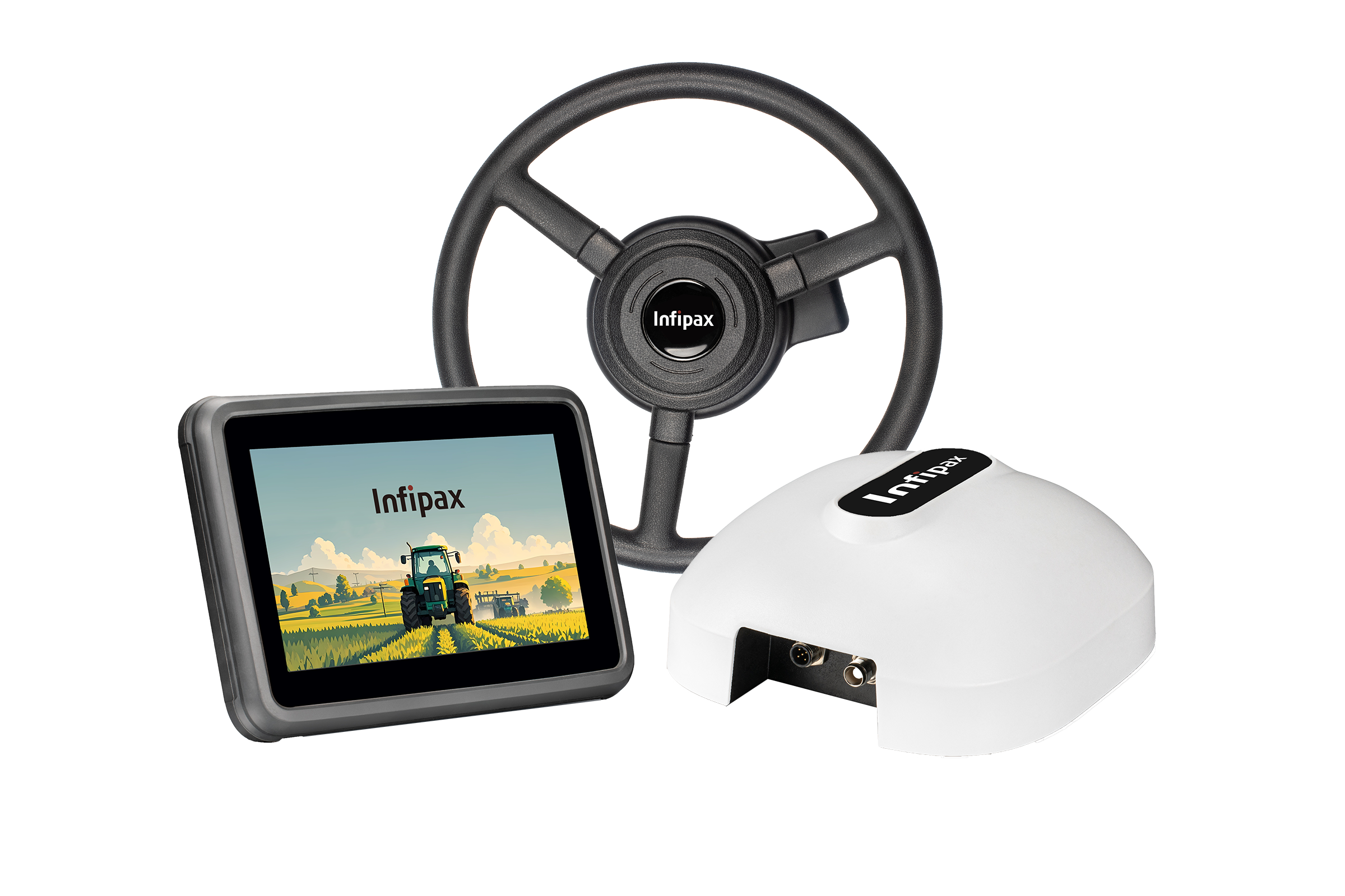
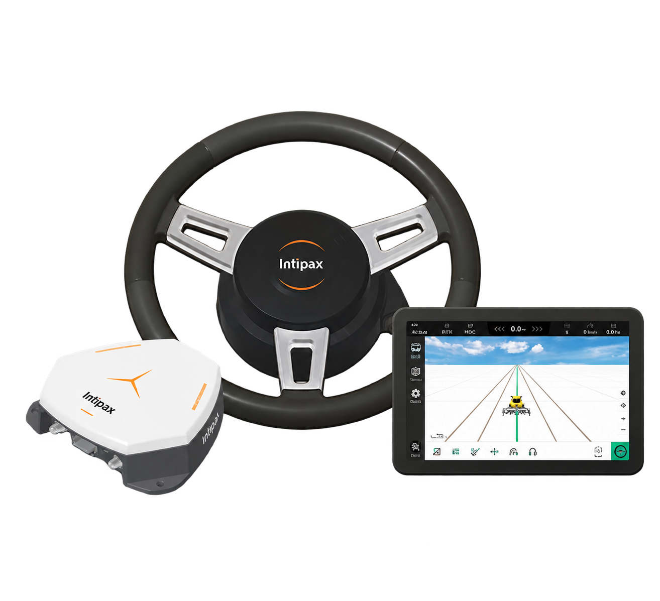
PowerSteer Autosteering System
in Package

FieldBee PowerWheel
Steering Wheel with Electric Motor
A steering wheel with electric turning motor that replaces the original tractor steering wheel. Easy to install and can be switched between different agricultural machines.
- Universal steering wheel compatible with most tractor brands
- High-torque turning motor with low noise operation
- Sturdy mounting bracket for stable installation
- Quick release mechanism for easy transfer between vehicles

FieldBee PowerSteer Controller
All-in-one Controller with RTK Receiver
An integrated controller that combines RTK receiver and steering control in one compact unit. Receives navigation commands from Android app and sends steering signals to the vehicle.
- Built-in high-precision RTK receiver for centimeter-level accuracy
- Dust and waterproof enclosure rated IP67
- Supports most agricultural equipment brands
- Easy plug-and-play installation

FieldBee Navigation App
Professional Navigation Software
Professional navigation and field management software running on Android 10 certified tablets. Provides comprehensive solutions for agricultural operations from planning to reporting.
- Quick device connection via Bluetooth
- High-precision parallel and contour guidance
- Field mapping and boundary recording
- Operation data logging and analytics
- Report generation and export
- Web portal synchronization for office management
Ready to Transform Your Farming Operations?
Join thousands of farmers who have already increased their efficiency with FieldBee autosteering technology.